RAINCELL: Monitoring Rain in Real-Time to Better Prevent Floods

An innovative project uses mobile phone network signals to map precipitation and improve early warning systems.

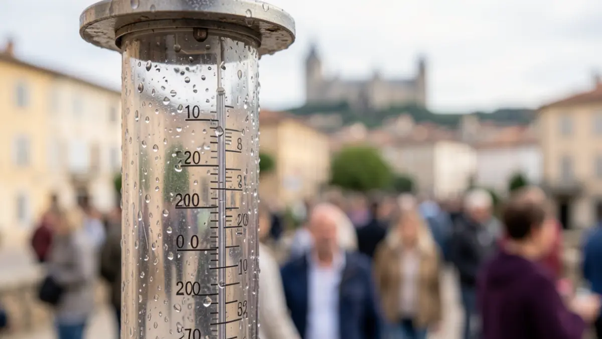
Generic image of a rain gauge with water droplets, blurred Occitanie city skyline in the background.
AI

Generic image of a rain gauge with water droplets, blurred Occitanie city skyline in the background.

The RAINCELL project, developed by the IRD in collaboration with the Félix-Houphouët-Boigny University, offers an innovative solution for real-time precipitation measurement using mobile phone network signals.

By producing high-resolution rainfall maps, this method contributes to the development of early flood warning systems, particularly in vulnerable African cities. The solution has been successfully tested in five African countries: Ivory Coast, Burkina Faso, Mali, Niger, and Cameroon.
Technically mature today, RAINCELL technology opens up prospects for large-scale deployment. Its applications could extend to other sectors such as agriculture, transportation, and health risk prevention.
The RAINCELL project is supported by the Partnership and Valorization Service (SPV) of the IRD's Occitanie regional delegation.
Based on information from the official source: GET – Géosciences Environnement Toulouse (18/11/2026)